1318 Rauma, Kuuskajaskari
- Nautical chart: 41, Nautical chart series 804, E
- 61°08,2′ 21°22,2′
- Approaching: 5,5 meter sea-lane from South-West or North-East, from there to the 1,8 meter sea-lane to South-East.
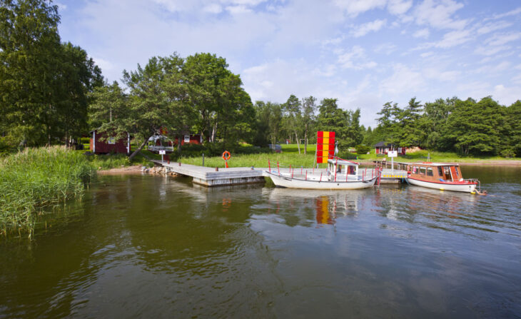
- Attaching to the dock: To the buoys. The depth of the berths in the guest harbor are 1,2-2,8m (the East-side dock of the island). On the South-side guest harbor the depth is over 4,2m (NOTE! waterbuses/authority dock, attaching to this dock with permission only).
- Services:Cafe Wanha Kasarmi (open in summer when the waterbuses operate, alcohol serving rights, lunch), conference rooms, saunas, showers.
- Sights: Observation tower 20 meters above the sea level. Cannons, rifle pits.
- Inquiries to the Holiday and Fortress Island of Kuuskajaskari tel. +358 50 313 9160, +358 400 775 875, info@kuuskajaskari.fi, www.kuuskajaskari.fi
1342 Rauma, Reksaari Karttu
- Nautical chart: 41, Nautical chart series 804
- 61°11,6′, 21°26,1′
- Approaching: From the route marked on the nautical chart series, turn towards the pier at the northeast.
- Anchoring to the dock: by buoy or anchor. 25 buoy positions.
- Services: hiking trails, campfire sites and dry toilets.